Keeping the graveyard from collapsing
Introduction
The photograph on this page of Keeping the graveyard from collapsing by Neil Owen as part of the Geograph project.
The Geograph project started in 2005 with the aim of publishing, organising and preserving representative images for every square kilometre of Great Britain, Ireland and the Isle of Man.

There are currently over 7.5m images from over 14,400 individuals and you can help contribute to the project by visiting https://www.geograph.org.uk
Keeping the graveyard from collapsing
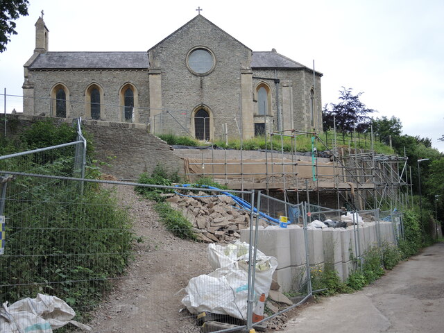
Image: © Neil Owen Taken: 19 Jun 2021
St Ann's church is placed on a small hilltop with the Siston Brook snaking just below. This steep drop thus created has suffered some movement and hence there is a significant attempt to stabilise the soils.
Images are licensed for reuse under creativecommons.org/licenses/by-sa/2.0
Image Location
Latitude
51.43828
Longitude
-2.478023