Graveyard of St Ann's
Introduction
The photograph on this page of Graveyard of St Ann's by Neil Owen as part of the Geograph project.
The Geograph project started in 2005 with the aim of publishing, organising and preserving representative images for every square kilometre of Great Britain, Ireland and the Isle of Man.

There are currently over 7.5m images from over 14,400 individuals and you can help contribute to the project by visiting https://www.geograph.org.uk
Graveyard of St Ann's
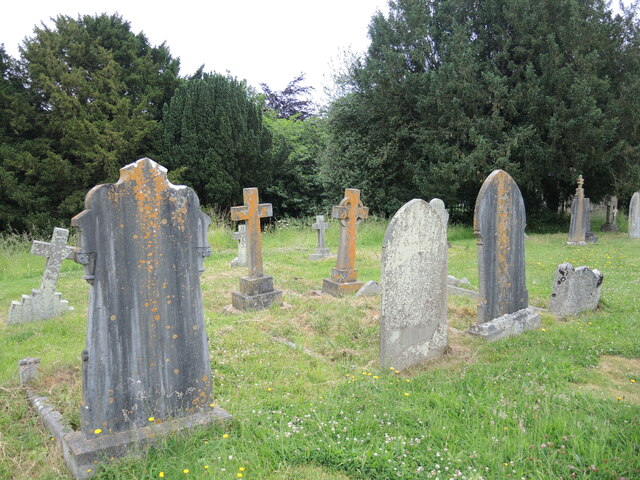
Image: © Neil Owen Taken: 19 Jun 2021
The church dates far back into the thirteenth century, occupying a spot on a hilltop overlooking the Siston Brook and in an area that was a hunting forest. Here the more modern graveyard still shows the steep drop to the brook.
Images are licensed for reuse under creativecommons.org/licenses/by-sa/2.0
Image Location


Leaflet Map data © OpenStreetMap
Latitude
51.438728
Longitude
-2.478316