Green Tunnel near Bloors Wharf
Introduction
The photograph on this page of Green Tunnel near Bloors Wharf by David Anstiss as part of the Geograph project.
The Geograph project started in 2005 with the aim of publishing, organising and preserving representative images for every square kilometre of Great Britain, Ireland and the Isle of Man.

There are currently over 7.5m images from over 14,400 individuals and you can help contribute to the project by visiting https://www.geograph.org.uk
Green Tunnel near Bloors Wharf
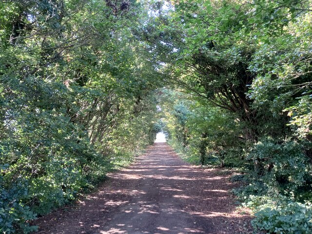
Image: © David Anstiss Taken: 15 Sep 2021
This is part of a footpath leading from Motney Hill towards Horrid Hill, all part of Riverside Country Park
Images are licensed for reuse under creativecommons.org/licenses/by-sa/2.0
Image Location


Leaflet Map data © OpenStreetMap
Latitude
51.379814
Longitude
0.609261