Track to reservoir beside Croftfield Residential Home
Introduction
The photograph on this page of Track to reservoir beside Croftfield Residential Home by Roger Templeman as part of the Geograph project.
The Geograph project started in 2005 with the aim of publishing, organising and preserving representative images for every square kilometre of Great Britain, Ireland and the Isle of Man.

There are currently over 7.5m images from over 14,400 individuals and you can help contribute to the project by visiting https://www.geograph.org.uk
Track to reservoir beside Croftfield Residential Home
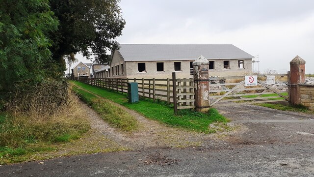
Image: © Roger Templeman Taken: 9 Sep 2021
Ordnance Survey documents indicate that a benchmark levelled at 120.554m above Newlyn Datum was verified in 1972 on a gatepost at the left hand side of the track
Images are licensed for reuse under creativecommons.org/licenses/by-sa/2.0
Image Location


Leaflet Map data © OpenStreetMap
Latitude
54.839392
Longitude
-2.826283