Wollaton Park, boundary wall and gates
Introduction
The photograph on this page of Wollaton Park, boundary wall and gates by Alan Murray-Rust as part of the Geograph project.
The Geograph project started in 2005 with the aim of publishing, organising and preserving representative images for every square kilometre of Great Britain, Ireland and the Isle of Man.

There are currently over 7.5m images from over 14,400 individuals and you can help contribute to the project by visiting https://www.geograph.org.uk
Wollaton Park, boundary wall and gates
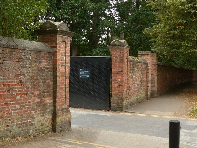
Image: © Alan Murray-Rust Taken: 12 Sep 2021
The principal section of the wall on the north side of the park, alongside Wollaton Road, Listed Grade II. The wall dates from the late 18th century, with gateways broken through at various times in the late 19th and 20th centuries.
Images are licensed for reuse under creativecommons.org/licenses/by-sa/2.0
Image Location
Latitude
52.953602
Longitude
-1.213309