Higher Garstangs, Ryal Fold
Introduction
The photograph on this page of Higher Garstangs, Ryal Fold by Greum as part of the Geograph project.
The Geograph project started in 2005 with the aim of publishing, organising and preserving representative images for every square kilometre of Great Britain, Ireland and the Isle of Man.

There are currently over 7.5m images from over 14,400 individuals and you can help contribute to the project by visiting https://www.geograph.org.uk
Higher Garstangs, Ryal Fold
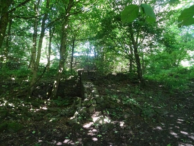
Image: © Greum Taken: 16 Jul 2021
The ruins of a wall at Higher Garstangs, a former home in Ryal Fold, Tockholes.
Images are licensed for reuse under creativecommons.org/licenses/by-sa/2.0
Image Location
Latitude
53.689404
Longitude
-2.509516