Public footpath in the north west of Broadlands
Introduction
The photograph on this page of Public footpath in the north west of Broadlands by eswales as part of the Geograph project.
The Geograph project started in 2005 with the aim of publishing, organising and preserving representative images for every square kilometre of Great Britain, Ireland and the Isle of Man.

There are currently over 7.5m images from over 14,400 individuals and you can help contribute to the project by visiting https://www.geograph.org.uk
Public footpath in the north west of Broadlands
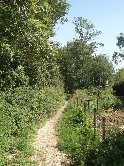
Image: © eswales Taken: 24 Aug 2021
A stretch of public footpath heads into Broadlands from a lane which runs along the western boundary of the Bridgend suburb.
Images are licensed for reuse under creativecommons.org/licenses/by-sa/2.0
Image Location
Latitude
51.504402
Longitude
-3.6135