Browns Lane, Allesley, Coventry
Introduction
The photograph on this page of Browns Lane, Allesley, Coventry by A J Paxton as part of the Geograph project.
The Geograph project started in 2005 with the aim of publishing, organising and preserving representative images for every square kilometre of Great Britain, Ireland and the Isle of Man.

There are currently over 7.5m images from over 14,400 individuals and you can help contribute to the project by visiting https://www.geograph.org.uk
Browns Lane, Allesley, Coventry
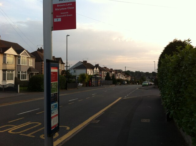
Image: © A J Paxton Taken: 8 Sep 2021
Browns Lane runs for over a mile along the western edge of Coventry: between-the-wars, 1920s-1930s ribbon development, houses with fields beyond their back gardens on the western side, the gaps gradually filled in later with more modern housing. On the Coventry side, visible on the left in this photo, a 'shadow factory' was built behind the houses in the late 1930s, using equipment and skills from the motor industry, in this case Daimler, to make aircraft parts for the coming war. This was to become the Jaguar Browns Lane car plant, in operation from 1951 to 2005. Since 2008 housing and a business park have been built on the site. https://en.wikipedia.org/wiki/Browns_Lane_plant
Images are licensed for reuse under creativecommons.org/licenses/by-sa/2.0
Image Location
Latitude
52.433288
Longitude
-1.565171