
Drem
Introduction
The photograph on this page of Drem by Richard Webb as part of the Geograph project.
The Geograph project started in 2005 with the aim of publishing, organising and preserving representative images for every square kilometre of Great Britain, Ireland and the Isle of Man.

There are currently over 7.5m images from over 14,400 individuals and you can help contribute to the project by visiting https://www.geograph.org.uk
Drem
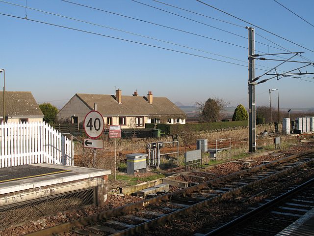
Image: © Richard Webb Taken: 12 Feb 2008
Part of the village, seen from the station. This is a high speed (200kph) line - the speed limit refers to traffic leaving for the branch line to North Berwick. The railway to North Berwick narrowly survived closure. It is so unpopular and uneconomic that you cannot get a seat at many times. British Rail lacked the predatory instinct of the modern fare hiking private operators. (At least you could freely used the trains when you wanted to back then). The line is now quite safe from closure threats.
Images are licensed for reuse under creativecommons.org/licenses/by-sa/2.0
Image Location

Latitude
56.00594
Longitude
-2.784461