Uncultivated field and pylon to the south of Laleston
Introduction
The photograph on this page of Uncultivated field and pylon to the south of Laleston by eswales as part of the Geograph project.
The Geograph project started in 2005 with the aim of publishing, organising and preserving representative images for every square kilometre of Great Britain, Ireland and the Isle of Man.

There are currently over 7.5m images from over 14,400 individuals and you can help contribute to the project by visiting https://www.geograph.org.uk
Uncultivated field and pylon to the south of Laleston
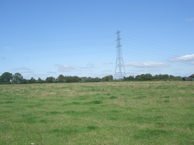
Image: © eswales Taken: 24 Aug 2021
A public footpath on the Bridgend Circular Walk passes through the field, which borders the A48. The pylon lies just outside the field.
Images are licensed for reuse under creativecommons.org/licenses/by-sa/2.0
Image Location
Latitude
51.501486
Longitude
-3.616279