Rough grazing on slope of Knars Dale
Introduction
The photograph on this page of Rough grazing on slope of Knars Dale by Trevor Littlewood as part of the Geograph project.
The Geograph project started in 2005 with the aim of publishing, organising and preserving representative images for every square kilometre of Great Britain, Ireland and the Isle of Man.

There are currently over 7.5m images from over 14,400 individuals and you can help contribute to the project by visiting https://www.geograph.org.uk
Rough grazing on slope of Knars Dale
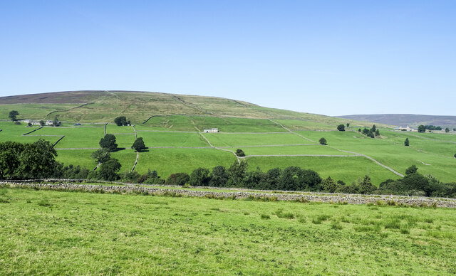
Image: © Trevor Littlewood Taken: 7 Sep 2021
The cultivated, yet still roughly grassed field is on the north side of a minor road descending to the valley of Knars Dale. The trees are in the valley bottom beyond which there's more cultivation before the ground rises to the moorland of Black Fell.
Images are licensed for reuse under creativecommons.org/licenses/by-sa/2.0
Image Location


Leaflet Map data © OpenStreetMap
Latitude
54.862214
Longitude
-2.518748