Works site, Gaer Fort, Newport
Introduction
The photograph on this page of Works site, Gaer Fort, Newport by Robin Drayton as part of the Geograph project.
The Geograph project started in 2005 with the aim of publishing, organising and preserving representative images for every square kilometre of Great Britain, Ireland and the Isle of Man.

There are currently over 7.5m images from over 14,400 individuals and you can help contribute to the project by visiting https://www.geograph.org.uk
Works site, Gaer Fort, Newport
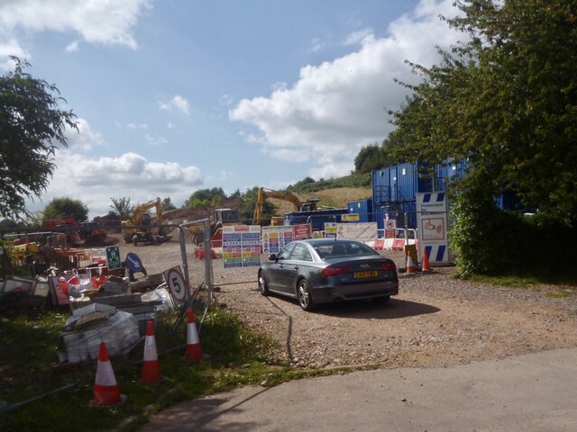
Image: © Robin Drayton Taken: 28 Aug 2021
For the construction for an Active Travel route around the south-western boundary of Gaer Fort. The existing footpath is being turned into a cycle route. Active travel is about getting from A to B by walking or cycling. Viewed from Wells Close where there was a kissing gate entrance to Gaer Fort.
Images are licensed for reuse under creativecommons.org/licenses/by-sa/2.0
Image Location
Latitude
51.571206
Longitude
-3.021729