Footpath through sweetcorn near Kingsdown
Introduction
The photograph on this page of Footpath through sweetcorn near Kingsdown by David Kemp as part of the Geograph project.
The Geograph project started in 2005 with the aim of publishing, organising and preserving representative images for every square kilometre of Great Britain, Ireland and the Isle of Man.

There are currently over 7.5m images from over 14,400 individuals and you can help contribute to the project by visiting https://www.geograph.org.uk
Footpath through sweetcorn near Kingsdown
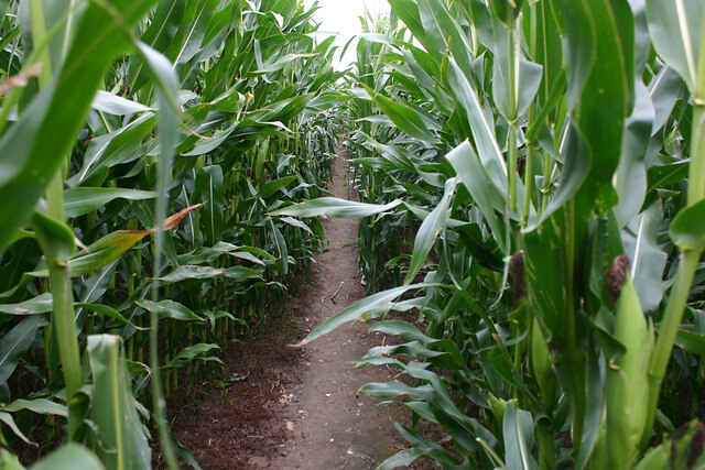
Image: © David Kemp Taken: 2 Sep 2021
The footpath through the open downland landscape of Otty Bottom ends in this crop of sweetcorn just before it reaches Victoria Road in Kingsdown.
Images are licensed for reuse under creativecommons.org/licenses/by-sa/2.0
Image Location
Latitude
51.179361
Longitude
1.393283