Tiverton : Blundell's Road
Introduction
The photograph on this page of Tiverton : Blundell's Road by Lewis Clarke as part of the Geograph project.
The Geograph project started in 2005 with the aim of publishing, organising and preserving representative images for every square kilometre of Great Britain, Ireland and the Isle of Man.

There are currently over 7.5m images from over 14,400 individuals and you can help contribute to the project by visiting https://www.geograph.org.uk
Tiverton : Blundell's Road
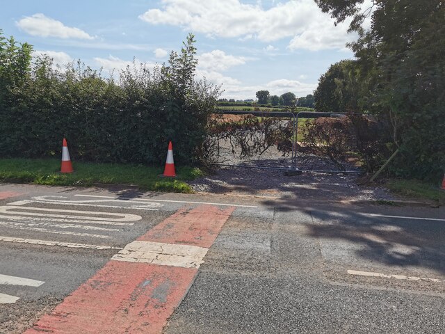
Image: © Lewis Clarke Taken: 25 Aug 2021
A road is being built which will provide access to a major new housing development here.
Images are licensed for reuse under creativecommons.org/licenses/by-sa/2.0
Image Location
Latitude
50.909511
Longitude
-3.451023