Royal Victoria Hospital site, Radnor Park Road
Introduction
The photograph on this page of Royal Victoria Hospital site, Radnor Park Road by John Baker as part of the Geograph project.
The Geograph project started in 2005 with the aim of publishing, organising and preserving representative images for every square kilometre of Great Britain, Ireland and the Isle of Man.

There are currently over 7.5m images from over 14,400 individuals and you can help contribute to the project by visiting https://www.geograph.org.uk
Royal Victoria Hospital site, Radnor Park Road
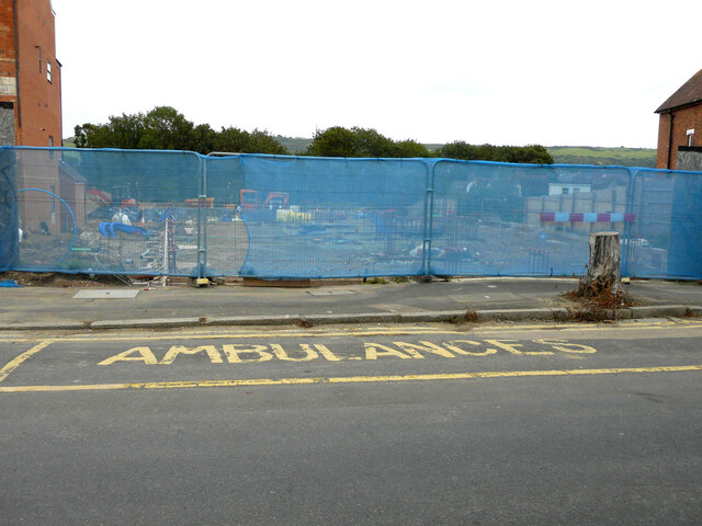
Image: © John Baker Taken: 22 Aug 2021
Planning permission has been approved, with conditions, by Folkestone and Hythe District Council under application number 20/0532/FH for “residential development at Royal Victoria Hospital site consisting of 19, 4 & 5 bed houses and 19, 1 & 2 bed apartments including associated external works”. This view of the Image shows the right hand side of the building, before it was demolished, and where the development is taking place.
Images are licensed for reuse under creativecommons.org/licenses/by-sa/2.0
Image Location
Latitude
51.085906
Longitude
1.172203