The north side of Grubbin's Wood
Introduction
The photograph on this page of The north side of Grubbin's Wood by Marathon as part of the Geograph project.
The Geograph project started in 2005 with the aim of publishing, organising and preserving representative images for every square kilometre of Great Britain, Ireland and the Isle of Man.

There are currently over 7.5m images from over 14,400 individuals and you can help contribute to the project by visiting https://www.geograph.org.uk
The north side of Grubbin's Wood
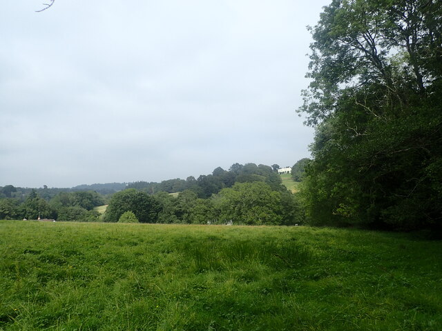
Image: © Marathon Taken: 4 Sep 2021
This is just south of Tidebrook. The path passes through the shortest part of Grubbin's Wood on the way to Cinderhill Farm. Tidebrook Manor is on the horizon towards the right. The house has a 15th century wing while the large north-west wing which can be seen here dates from the mid-19th century.
Images are licensed for reuse under creativecommons.org/licenses/by-sa/2.0
Image Location
Latitude
51.039197
Longitude
0.297486