Approaching West Closes Farm
Introduction
The photograph on this page of Approaching West Closes Farm by Stephen Craven as part of the Geograph project.
The Geograph project started in 2005 with the aim of publishing, organising and preserving representative images for every square kilometre of Great Britain, Ireland and the Isle of Man.

There are currently over 7.5m images from over 14,400 individuals and you can help contribute to the project by visiting https://www.geograph.org.uk
Approaching West Closes Farm
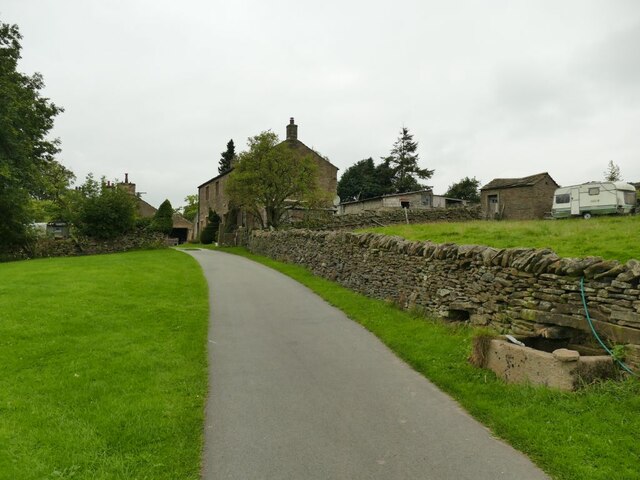
Image: © Stephen Craven Taken: 4 Sep 2021
The lane is a private road serving five farms, of which this is the last. It's also a public footpath. The main farmhouse is grade II listed but not seen in this view, and was the home of a well known 19th century organ builder, John Laycock (source: http://www.farnhill.co.uk/History_Docs/Kildwick%20Organ%20grave%20-%20issue%203.pdf ).
Images are licensed for reuse under creativecommons.org/licenses/by-sa/2.0
Image Location
Latitude
53.900266
Longitude
-2.021727