Finghall, Chapel Lane
Introduction
The photograph on this page of Finghall, Chapel Lane by Mel Towler as part of the Geograph project.
The Geograph project started in 2005 with the aim of publishing, organising and preserving representative images for every square kilometre of Great Britain, Ireland and the Isle of Man.

There are currently over 7.5m images from over 14,400 individuals and you can help contribute to the project by visiting https://www.geograph.org.uk
Finghall, Chapel Lane
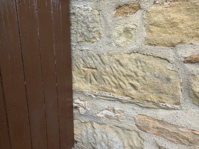
Image: © Mel Towler Taken: 25 Aug 2021
This is on the east side of Chapel Lane, and the building was originally a cow byre, but now converted into a private residence. On the left of the road facing wall, and adjacent to a garden gate is a benchmark cut into the stone.
Images are licensed for reuse under creativecommons.org/licenses/by-sa/2.0
Image Location
Latitude
54.302584
Longitude
-1.720289