Coventry Canal, Hill Top
Introduction
The photograph on this page of Coventry Canal, Hill Top by Stephen McKay as part of the Geograph project.
The Geograph project started in 2005 with the aim of publishing, organising and preserving representative images for every square kilometre of Great Britain, Ireland and the Isle of Man.

There are currently over 7.5m images from over 14,400 individuals and you can help contribute to the project by visiting https://www.geograph.org.uk
Coventry Canal, Hill Top
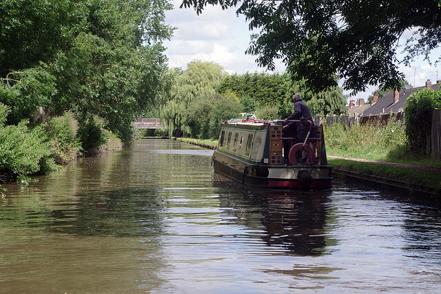
Image: © Stephen McKay Taken: 29 Jul 2021
The narrowboat appears to be looking for a mooring as it passes through the southern outskirts of Nuneaton just beyond bridge 18A.
Images are licensed for reuse under creativecommons.org/licenses/by-sa/2.0
Image Location
Latitude
52.506042
Longitude
-1.461765