Sticil ger Bryn-tywarch / Stile near Bryn-tywarch
Introduction
The photograph on this page of Sticil ger Bryn-tywarch / Stile near Bryn-tywarch by Alan Richards as part of the Geograph project.
The Geograph project started in 2005 with the aim of publishing, organising and preserving representative images for every square kilometre of Great Britain, Ireland and the Isle of Man.

There are currently over 7.5m images from over 14,400 individuals and you can help contribute to the project by visiting https://www.geograph.org.uk
Sticil ger Bryn-tywarch / Stile near Bryn-tywarch
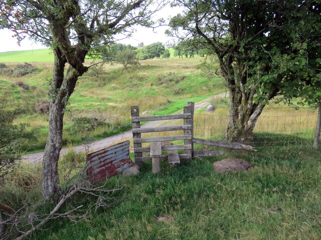
Image: © Alan Richards Taken: 3 Sep 2021
Llwybr cyhoeddus ar fin ymuno â thrac ger Bryn-tywarch. A public footpath about to join a track near Bryn-tywarch (trans. clod hill).
Images are licensed for reuse under creativecommons.org/licenses/by-sa/2.0
Image Location
Latitude
51.927231
Longitude
-3.682146