Approaching Burnrigg from the north
Introduction
The photograph on this page of Approaching Burnrigg from the north by Luke Shaw as part of the Geograph project.
The Geograph project started in 2005 with the aim of publishing, organising and preserving representative images for every square kilometre of Great Britain, Ireland and the Isle of Man.

There are currently over 7.5m images from over 14,400 individuals and you can help contribute to the project by visiting https://www.geograph.org.uk
Approaching Burnrigg from the north
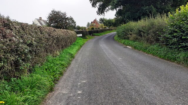
Image: © Luke Shaw Taken: 31 Aug 2021
The house in the centre background is 'Robin Hill'
Images are licensed for reuse under creativecommons.org/licenses/by-sa/2.0
Image Location
Latitude
54.895994
Longitude
-2.814968