18 Parkgate Road
Introduction
The photograph on this page of 18 Parkgate Road by Ian Capper as part of the Geograph project.
The Geograph project started in 2005 with the aim of publishing, organising and preserving representative images for every square kilometre of Great Britain, Ireland and the Isle of Man.

There are currently over 7.5m images from over 14,400 individuals and you can help contribute to the project by visiting https://www.geograph.org.uk
18 Parkgate Road
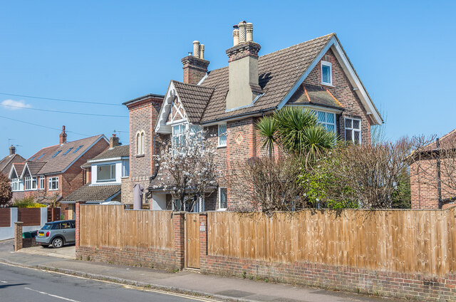
Image: © Ian Capper Taken: 19 Apr 2021
Large Victorian house in Parkgate Road by its junction with Howard Road, marked on the 1872 1:500 map (on which Parkgate Road was named Reigatepark Road). The plaque on the chimney reads "CL".
Images are licensed for reuse under creativecommons.org/licenses/by-sa/2.0
Image Location
Latitude
51.233096
Longitude
-0.201305