Kingcoed Baptist Chapel nameboard, Monmouthshire
Introduction
The photograph on this page of Kingcoed Baptist Chapel nameboard, Monmouthshire by Jaggery as part of the Geograph project.
The Geograph project started in 2005 with the aim of publishing, organising and preserving representative images for every square kilometre of Great Britain, Ireland and the Isle of Man.

There are currently over 7.5m images from over 14,400 individuals and you can help contribute to the project by visiting https://www.geograph.org.uk
Kingcoed Baptist Chapel nameboard, Monmouthshire
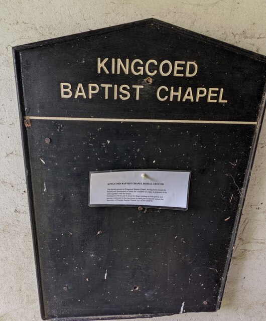
Image: © Jaggery Taken: 29 Aug 2021
An undated typewritten notice on the board in late August 2021 shows "The burial ground at Kingcoed Baptist Chapel, having been closed for burials and internment [sic] of ashes for a number of years, is proposed to be sold together with the chapel. Covenants will be put in place for those wishing to visit graves and anyone interested in having access to such graves should contact the Secretary of Raglan Baptist Church " (on the phone number shown at the end of the notice).
Images are licensed for reuse under creativecommons.org/licenses/by-sa/2.0
Image Location
Latitude
51.744996
Longitude
-2.829889