Boundary Wall, West St, Wells
Introduction
The photograph on this page of Boundary Wall, West St, Wells by V1ncenze as part of the Geograph project.
The Geograph project started in 2005 with the aim of publishing, organising and preserving representative images for every square kilometre of Great Britain, Ireland and the Isle of Man.

There are currently over 7.5m images from over 14,400 individuals and you can help contribute to the project by visiting https://www.geograph.org.uk
Boundary Wall, West St, Wells
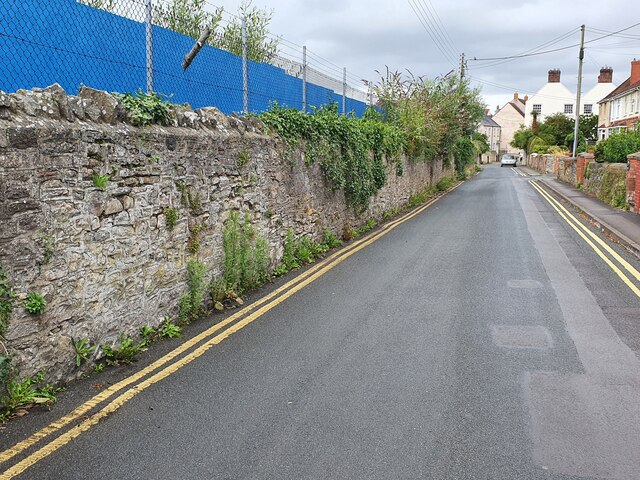
Image: © V1ncenze Taken: 8 Aug 2021
This is the boundary wall that runs along West Street, Wells. This wall also has an Ordnance Survey bench mark. Image
Images are licensed for reuse under creativecommons.org/licenses/by-sa/2.0
Image Location
Latitude
51.204819
Longitude
-2.65238