St Mary's Road
Introduction
The photograph on this page of St Mary's Road by Ian Capper as part of the Geograph project.
The Geograph project started in 2005 with the aim of publishing, organising and preserving representative images for every square kilometre of Great Britain, Ireland and the Isle of Man.

There are currently over 7.5m images from over 14,400 individuals and you can help contribute to the project by visiting https://www.geograph.org.uk
St Mary's Road
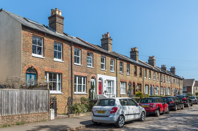
Image: © Ian Capper Taken: 19 Apr 2021
A Victorian terrace in St Mary's Road. The 1872 1:500 map shows this section of St Mary's Road as New Road (but without these houses, which are first shown on the 1896 map); the section further east was, however, called St Mary's Road from outset.
Images are licensed for reuse under creativecommons.org/licenses/by-sa/2.0
Image Location
Latitude
51.232229
Longitude
-0.200451