Norton Recreation Ground Marsh Hall Lane
Introduction
The photograph on this page of Norton Recreation Ground Marsh Hall Lane by John Fielding as part of the Geograph project.
The Geograph project started in 2005 with the aim of publishing, organising and preserving representative images for every square kilometre of Great Britain, Ireland and the Isle of Man.

There are currently over 7.5m images from over 14,400 individuals and you can help contribute to the project by visiting https://www.geograph.org.uk
Norton Recreation Ground Marsh Hall Lane
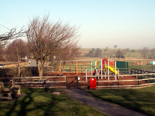
Image: © John Fielding Taken: 18 Feb 2008
It also has a cricket ground and pavilion.
Images are licensed for reuse under creativecommons.org/licenses/by-sa/2.0
Image Location
Latitude
53.593513
Longitude
-1.74886