The Knock crossroads, Belfast (1)
Introduction
The photograph on this page of The Knock crossroads, Belfast (1) by Albert Bridge as part of the Geograph project.
The Geograph project started in 2005 with the aim of publishing, organising and preserving representative images for every square kilometre of Great Britain, Ireland and the Isle of Man.

There are currently over 7.5m images from over 14,400 individuals and you can help contribute to the project by visiting https://www.geograph.org.uk
The Knock crossroads, Belfast (1)
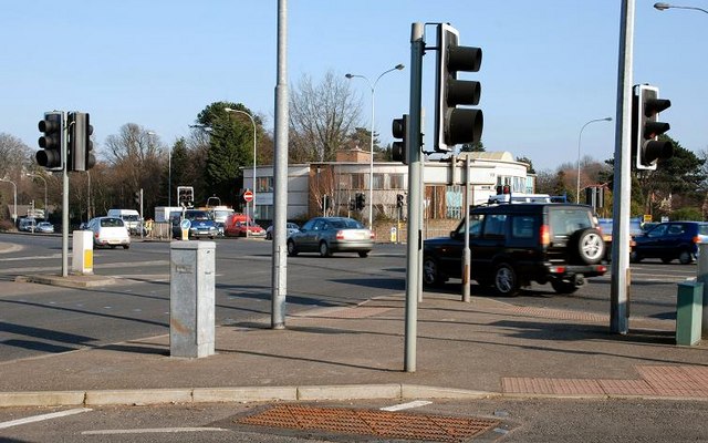
Image: © Albert Bridge Taken: 18 Feb 2008
The Knock crossroads is where the Belfast – Newtownards (right) road crosses the outer ring road. It is a busy spot with several green filters. It was widened in the early 80’s when the last section of the outer ring opened to the Belmont roundabout.
Images are licensed for reuse under creativecommons.org/licenses/by-sa/2.0
Image Location
Latitude
54.594389
Longitude
-5.854556