Old Boundary Marker on Hayle East Quay
Introduction
The photograph on this page of Old Boundary Marker on Hayle East Quay by T Jenkinson as part of the Geograph project.
The Geograph project started in 2005 with the aim of publishing, organising and preserving representative images for every square kilometre of Great Britain, Ireland and the Isle of Man.

There are currently over 7.5m images from over 14,400 individuals and you can help contribute to the project by visiting https://www.geograph.org.uk
Old Boundary Marker on Hayle East Quay
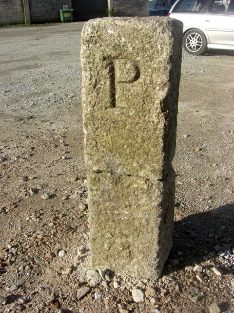
Image: © T Jenkinson Taken: 17 Feb 2013
Parish Boundary Marker on the quayside of Hayle East Quay. Hayle parish. Inscribed P and C on opposite faces, thought to be for Phillack and Copperhouse. Milestone Society National ID: CW_PHCH01pb
Images are licensed for reuse under creativecommons.org/licenses/by-sa/2.0
Image Location
Latitude
50.188552
Longitude
-5.423665