Whittington Walk housing development, Worcester
Introduction
The photograph on this page of Whittington Walk housing development, Worcester by Chris Allen as part of the Geograph project.
The Geograph project started in 2005 with the aim of publishing, organising and preserving representative images for every square kilometre of Great Britain, Ireland and the Isle of Man.

There are currently over 7.5m images from over 14,400 individuals and you can help contribute to the project by visiting https://www.geograph.org.uk
Whittington Walk housing development, Worcester
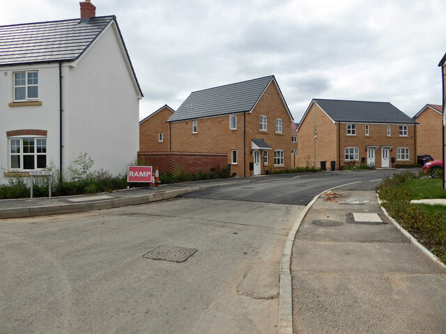
Image: © Chris Allen Taken: 18 Aug 2021
As far as I can work out, Heron End is the road to the left in front of the white house. The road ahead and curving to the right is Skylark Rise. Fresh tarmac has been laid on Skylark Rise as work progresses on finishing this part of the still expanding development.
Images are licensed for reuse under creativecommons.org/licenses/by-sa/2.0
Image Location
Latitude
52.18277
Longitude
-2.174879