Monken Hadley Common
Introduction
The photograph on this page of Monken Hadley Common by Mark Percy as part of the Geograph project.
The Geograph project started in 2005 with the aim of publishing, organising and preserving representative images for every square kilometre of Great Britain, Ireland and the Isle of Man.

There are currently over 7.5m images from over 14,400 individuals and you can help contribute to the project by visiting https://www.geograph.org.uk
Monken Hadley Common
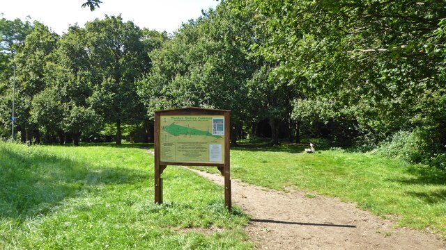
Image: © Mark Percy Taken: 24 Aug 2021
The display board and map welcomes visitors at the eastern entrance to the common. The Common is a remnant of the former Royal Forest of Enfield Chase, which was enclosed by an Act of Parliament of 1777. A small part was allotted to the village of Monken Hadley. It's the only land which has remained as a common. Until the 1950s the commoners exercised their rights to use the land for grazing.
Images are licensed for reuse under creativecommons.org/licenses/by-sa/2.0
Image Location
Latitude
51.654945
Longitude
-0.154959