Up Berridge Road West
Introduction
The photograph on this page of Up Berridge Road West by John Sutton as part of the Geograph project.
The Geograph project started in 2005 with the aim of publishing, organising and preserving representative images for every square kilometre of Great Britain, Ireland and the Isle of Man.

There are currently over 7.5m images from over 14,400 individuals and you can help contribute to the project by visiting https://www.geograph.org.uk
Up Berridge Road West
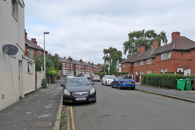
Image: © John Sutton Taken: 25 Aug 2021
Looking north from the corner of Oakland Street, with Victorian villas on the left and council-built houses on the right.
Images are licensed for reuse under creativecommons.org/licenses/by-sa/2.0
Image Location
Latitude
52.965857
Longitude
-1.1778