Chelsea Creek at high tide
Introduction
The photograph on this page of Chelsea Creek at high tide by Stefan Czapski as part of the Geograph project.
The Geograph project started in 2005 with the aim of publishing, organising and preserving representative images for every square kilometre of Great Britain, Ireland and the Isle of Man.

There are currently over 7.5m images from over 14,400 individuals and you can help contribute to the project by visiting https://www.geograph.org.uk
Chelsea Creek at high tide
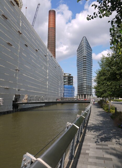
Image: © Stefan Czapski Taken: 24 Aug 2021
On the far bank, wrapped in plastic sheeting, the shell of the old Lots Road power-station is being refurbished - for residential use, as I understand it. Two tall chimneys are to be retained. The walkway forms part of the Thames Path, and reaches the riverside a couple of hundred metres ahead.
Images are licensed for reuse under creativecommons.org/licenses/by-sa/2.0
Image Location


Leaflet Map data © OpenStreetMap
Latitude
51.477664
Longitude
-0.181131