Farmland near Fairfield in Worcestershire
Introduction
The photograph on this page of Farmland near Fairfield in Worcestershire by Roger Kidd as part of the Geograph project.
The Geograph project started in 2005 with the aim of publishing, organising and preserving representative images for every square kilometre of Great Britain, Ireland and the Isle of Man.

There are currently over 7.5m images from over 14,400 individuals and you can help contribute to the project by visiting https://www.geograph.org.uk
Farmland near Fairfield in Worcestershire
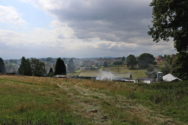
Image: © Roger Kidd Taken: 23 Aug 2021
Looking south-west towards Fairfield from the B4189 Shatterford Lane.
Images are licensed for reuse under creativecommons.org/licenses/by-sa/2.0
Image Location
Latitude
52.411773
Longitude
-2.260464