Field at the bottom of Coombs Dale
Introduction
The photograph on this page of Field at the bottom of Coombs Dale by Bill Boaden as part of the Geograph project.
The Geograph project started in 2005 with the aim of publishing, organising and preserving representative images for every square kilometre of Great Britain, Ireland and the Isle of Man.

There are currently over 7.5m images from over 14,400 individuals and you can help contribute to the project by visiting https://www.geograph.org.uk
Field at the bottom of Coombs Dale
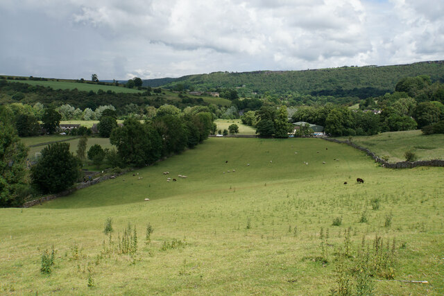
Image: © Bill Boaden Taken: 7 Jul 2021
The A623 runs at the other end of the field. The Derwent valley is in the background with Froggatt Edge on the far side.
Images are licensed for reuse under creativecommons.org/licenses/by-sa/2.0
Image Location
Latitude
53.271021
Longitude
-1.64879