Buckfast - Higher Mill Lane
Introduction
The photograph on this page of Buckfast - Higher Mill Lane by Colin Smith as part of the Geograph project.
The Geograph project started in 2005 with the aim of publishing, organising and preserving representative images for every square kilometre of Great Britain, Ireland and the Isle of Man.

There are currently over 7.5m images from over 14,400 individuals and you can help contribute to the project by visiting https://www.geograph.org.uk
Buckfast - Higher Mill Lane
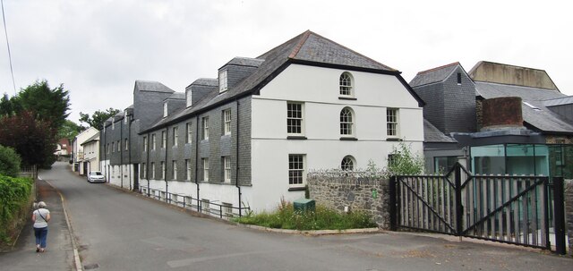
Image: © Colin Smith Taken: 25 Jul 2021
Industrial heritage - old woollen mill west of Buckfast Abbey.
Images are licensed for reuse under creativecommons.org/licenses/by-sa/2.0
Image Location
Latitude
50.492616
Longitude
-3.779115