Disused land near Sideway, Stoke-on-Trent
Introduction
The photograph on this page of Disused land near Sideway, Stoke-on-Trent by Roger Kidd as part of the Geograph project.
The Geograph project started in 2005 with the aim of publishing, organising and preserving representative images for every square kilometre of Great Britain, Ireland and the Isle of Man.

There are currently over 7.5m images from over 14,400 individuals and you can help contribute to the project by visiting https://www.geograph.org.uk
Disused land near Sideway, Stoke-on-Trent
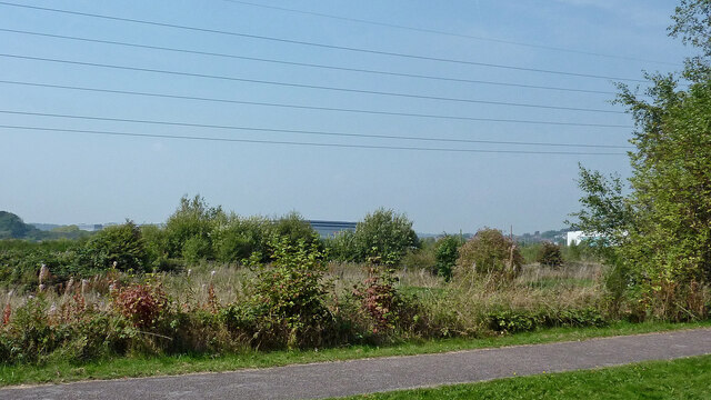
Image: © Roger Kidd Taken: 10 Sep 2014
Looking north-west from the Trent and Mersey Canal. New large industrial units (including a huge Dunelm warehouse) have been built on this land since the image was taken. In the distance on the right is the XPO Marks & Spencer distribution centre. Centrally in the distance is the enormous Sainsbury distribution warehouse. This used to be farm land by Chillings Brook (which has been rerouted), near the demolished Sideway Farm.
Images are licensed for reuse under creativecommons.org/licenses/by-sa/2.0
Image Location
Latitude
52.983934
Longitude
-2.179889