St. Giles Road
Introduction
The photograph on this page of St. Giles Road by DS Pugh as part of the Geograph project.
The Geograph project started in 2005 with the aim of publishing, organising and preserving representative images for every square kilometre of Great Britain, Ireland and the Isle of Man.

There are currently over 7.5m images from over 14,400 individuals and you can help contribute to the project by visiting https://www.geograph.org.uk
St. Giles Road
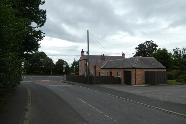
Image: © DS Pugh Taken: 15 Aug 2021
Looking towards the A19 with The Blacksmiths Arms on the right, although seems to be closed.
Images are licensed for reuse under creativecommons.org/licenses/by-sa/2.0
Image Location
Latitude
53.999266
Longitude
-1.136068