Field scabious, Bredhurst
Introduction
The photograph on this page of Field scabious, Bredhurst by pam fray as part of the Geograph project.
The Geograph project started in 2005 with the aim of publishing, organising and preserving representative images for every square kilometre of Great Britain, Ireland and the Isle of Man.

There are currently over 7.5m images from over 14,400 individuals and you can help contribute to the project by visiting https://www.geograph.org.uk
Field scabious, Bredhurst
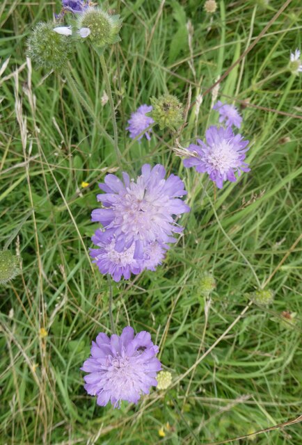
Image: © pam fray Taken: 20 Aug 2021
Growing in abundance in this meadow. The footpath running diagonally through it connects White Hill Road and Kemsley Street Road on the outskirts of Bredhurst.
Images are licensed for reuse under creativecommons.org/licenses/by-sa/2.0
Image Location
Latitude
51.330222
Longitude
0.590652