Road junction at St Owens sign
Introduction
The photograph on this page of Road junction at St Owens sign by Roger Templeman as part of the Geograph project.
The Geograph project started in 2005 with the aim of publishing, organising and preserving representative images for every square kilometre of Great Britain, Ireland and the Isle of Man.

There are currently over 7.5m images from over 14,400 individuals and you can help contribute to the project by visiting https://www.geograph.org.uk
Road junction at St Owens sign
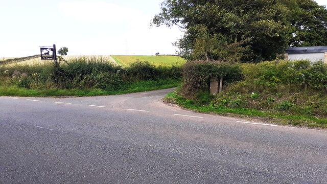
Image: © Roger Templeman Taken: 17 Aug 2021
There is an Ordnance Survey benchmark Image on the gatepost in the hedge at the right hand corner of the junction. The mark at the base of the stone in a white patch of lichen
Images are licensed for reuse under creativecommons.org/licenses/by-sa/2.0
Image Location
Latitude
54.929412
Longitude
-2.986368