Fields near A486 and minor road to Pisgah
Introduction
The photograph on this page of Fields near A486 and minor road to Pisgah by M J Roscoe as part of the Geograph project.
The Geograph project started in 2005 with the aim of publishing, organising and preserving representative images for every square kilometre of Great Britain, Ireland and the Isle of Man.

There are currently over 7.5m images from over 14,400 individuals and you can help contribute to the project by visiting https://www.geograph.org.uk
Fields near A486 and minor road to Pisgah
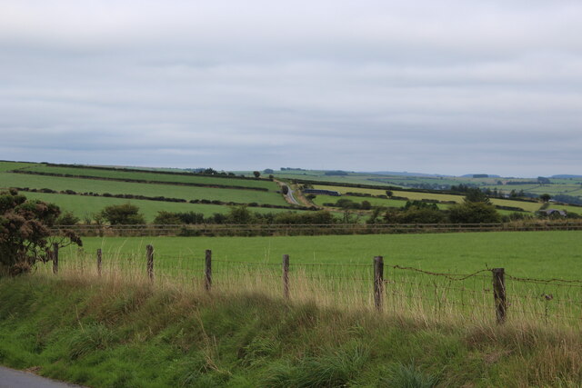
Image: © M J Roscoe Taken: 18 Aug 2021
The wooden fence running across the picture borders the A486; the hillside road in the background goes to Pisgah.
Images are licensed for reuse under creativecommons.org/licenses/by-sa/2.0
Image Location


Leaflet Map data © OpenStreetMap
Latitude
52.139803
Longitude
-4.340318