Buildings at Middle Farm
Introduction
The photograph on this page of Buildings at Middle Farm by Roger Templeman as part of the Geograph project.
The Geograph project started in 2005 with the aim of publishing, organising and preserving representative images for every square kilometre of Great Britain, Ireland and the Isle of Man.

There are currently over 7.5m images from over 14,400 individuals and you can help contribute to the project by visiting https://www.geograph.org.uk
Buildings at Middle Farm
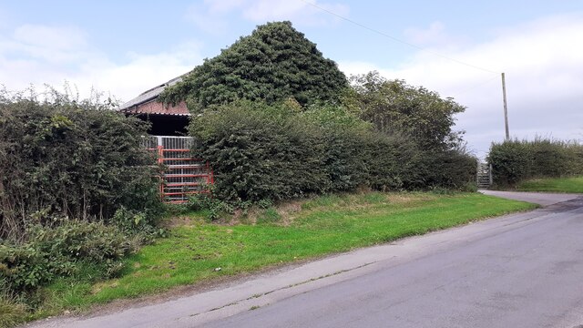
Image: © Roger Templeman Taken: 17 Aug 2021
Ordnance Survey records indicate that a benchmark levelled at 21.145m above Newlyn Datum was verified in 1974 on a corner of the brick barn. It was not possible to see from roadside if it still exists and there was nobody around to ask permission for access.
Images are licensed for reuse under creativecommons.org/licenses/by-sa/2.0
Image Location
Latitude
54.935775
Longitude
-2.977471