Path junction
Introduction
The photograph on this page of Path junction by Chris Thomas-Atkin as part of the Geograph project.
The Geograph project started in 2005 with the aim of publishing, organising and preserving representative images for every square kilometre of Great Britain, Ireland and the Isle of Man.

There are currently over 7.5m images from over 14,400 individuals and you can help contribute to the project by visiting https://www.geograph.org.uk
Path junction
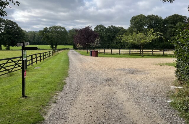
Image: © Chris Thomas-Atkin Taken: 19 Aug 2021
A path junction near Upperbarn House. The public footpath leading off to the right passes through Brook’s Copse to join Norwood Lane.
Images are licensed for reuse under creativecommons.org/licenses/by-sa/2.0
Image Location
Latitude
50.952931
Longitude
-0.659997