View down to Ginclough
Introduction
The photograph on this page of View down to Ginclough by Philip Cornwall as part of the Geograph project.
The Geograph project started in 2005 with the aim of publishing, organising and preserving representative images for every square kilometre of Great Britain, Ireland and the Isle of Man.

There are currently over 7.5m images from over 14,400 individuals and you can help contribute to the project by visiting https://www.geograph.org.uk
View down to Ginclough
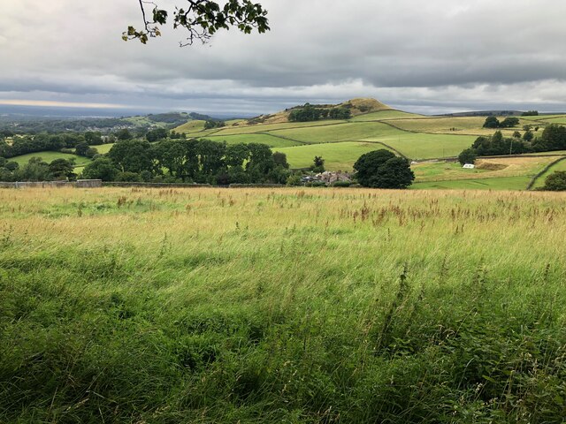
Image: © Philip Cornwall Taken: 15 Aug 2021
The collection of houses in the centre of the picture is the hamlet of Ginclough. The prominent hill in the background is Big Low.
Images are licensed for reuse under creativecommons.org/licenses/by-sa/2.0
Image Location
Latitude
53.285363
Longitude
-2.063708