A field in the Money Hill region, Ashby-de-la-Zouch
Introduction
The photograph on this page of A field in the Money Hill region, Ashby-de-la-Zouch by Oliver Mills as part of the Geograph project.
The Geograph project started in 2005 with the aim of publishing, organising and preserving representative images for every square kilometre of Great Britain, Ireland and the Isle of Man.

There are currently over 7.5m images from over 14,400 individuals and you can help contribute to the project by visiting https://www.geograph.org.uk
A field in the Money Hill region, Ashby-de-la-Zouch
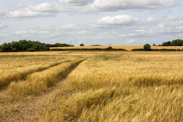
Image: © Oliver Mills Taken: 12 Aug 2021
Taken from the public footpath at the end of Featherbed Lane. All of this land is expected to be developed for housing soon. The small copse of trees on the left is marked on many maps to feature a "Lawn Barn" and a spring. It is legally inaccessible due to there being no public footpaths or open access areas between here and there, although from this position there is no physical impedance to access.
Images are licensed for reuse under creativecommons.org/licenses/by-sa/2.0
Image Location
Latitude
52.754334
Longitude
-1.460193