Thornton Road, Thorntonhall
Introduction
The photograph on this page of Thornton Road, Thorntonhall by Alec MacKinnon as part of the Geograph project.
The Geograph project started in 2005 with the aim of publishing, organising and preserving representative images for every square kilometre of Great Britain, Ireland and the Isle of Man.

There are currently over 7.5m images from over 14,400 individuals and you can help contribute to the project by visiting https://www.geograph.org.uk
Thornton Road, Thorntonhall
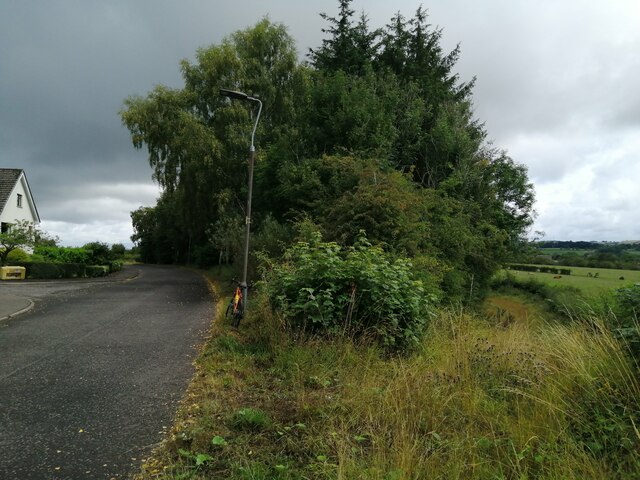
Image: © Alec MacKinnon Taken: 9 Aug 2021
Thornton Road skirts the edge of Thorntonhall leading eventually to Jackton. At this particular point a rough track, shown on the map, is shielded from Thornton Road by the row of trees in the middle of the picture.
Images are licensed for reuse under creativecommons.org/licenses/by-sa/2.0
Image Location
Latitude
55.768226
Longitude
-4.241411