Footpath to Lenton
Introduction
The photograph on this page of Footpath to Lenton by Tim Heaton as part of the Geograph project.
The Geograph project started in 2005 with the aim of publishing, organising and preserving representative images for every square kilometre of Great Britain, Ireland and the Isle of Man.

There are currently over 7.5m images from over 14,400 individuals and you can help contribute to the project by visiting https://www.geograph.org.uk
Footpath to Lenton
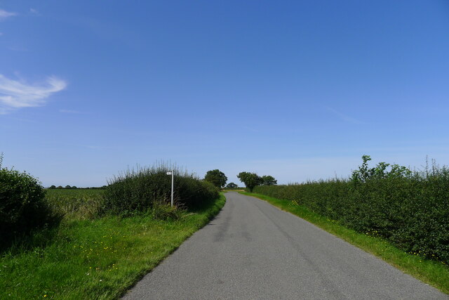
Image: © Tim Heaton Taken: 12 Aug 2021
The Roman road, King Street, is believed to have run across here (see OS map), but there is no visible sign of it in the neighbouring fields.
Images are licensed for reuse under creativecommons.org/licenses/by-sa/2.0
Image Location
Latitude
52.866093
Longitude
-0.471236