Glemsford: up New Cut
Introduction
The photograph on this page of Glemsford: up New Cut by John Sutton as part of the Geograph project.
The Geograph project started in 2005 with the aim of publishing, organising and preserving representative images for every square kilometre of Great Britain, Ireland and the Isle of Man.

There are currently over 7.5m images from over 14,400 individuals and you can help contribute to the project by visiting https://www.geograph.org.uk
Glemsford: up New Cut
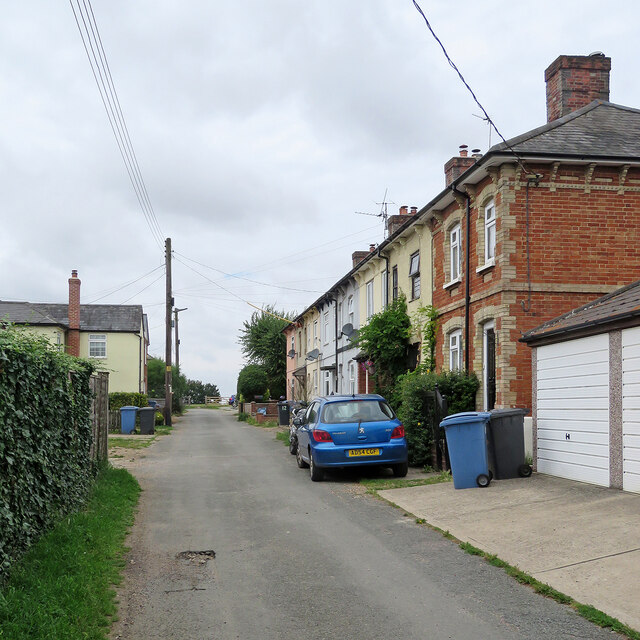
Image: © John Sutton Taken: 13 Aug 2021
In the 19th and 20th centuries Glemsford was a centre for linen, silk, coconut matting and horsehair manufacture, and among the many picturesque and sometimes very old timber-framed houses there is a good number of Victorian terraces such as this one.
Images are licensed for reuse under creativecommons.org/licenses/by-sa/2.0
Image Location
Latitude
52.093012
Longitude
0.66806