Bottom Pond Farm, Bottom Pond Road
Introduction
The photograph on this page of Bottom Pond Farm, Bottom Pond Road by pam fray as part of the Geograph project.
The Geograph project started in 2005 with the aim of publishing, organising and preserving representative images for every square kilometre of Great Britain, Ireland and the Isle of Man.

There are currently over 7.5m images from over 14,400 individuals and you can help contribute to the project by visiting https://www.geograph.org.uk
Bottom Pond Farm, Bottom Pond Road
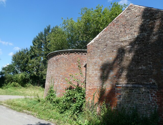
Image: © pam fray Taken: 10 Aug 2021
West of the village of Milstead, near Wormshill. The round building is part of an unconverted oast house, consisting of a single round kiln missing the conical roof and cowl.
Images are licensed for reuse under creativecommons.org/licenses/by-sa/2.0
Image Location
Latitude
51.296532
Longitude
0.716