Prospect Farm, High Catton
Introduction
The photograph on this page of Prospect Farm, High Catton by Gordon Hatton as part of the Geograph project.
The Geograph project started in 2005 with the aim of publishing, organising and preserving representative images for every square kilometre of Great Britain, Ireland and the Isle of Man.

There are currently over 7.5m images from over 14,400 individuals and you can help contribute to the project by visiting https://www.geograph.org.uk
Prospect Farm, High Catton
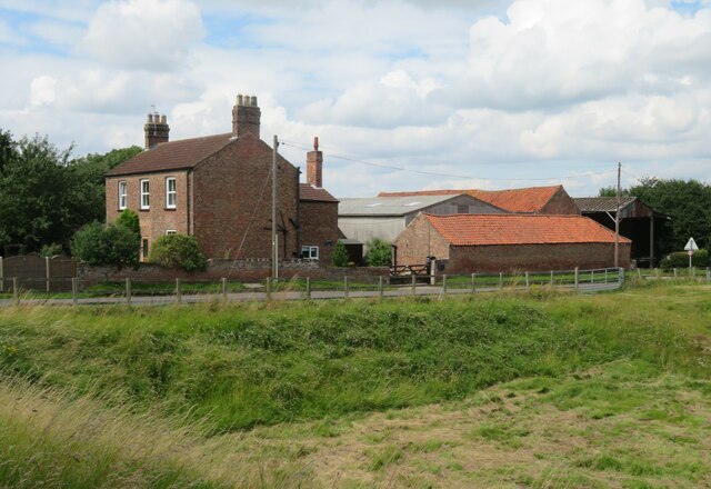
Image: © Gordon Hatton Taken: 9 Aug 2021
The depression on this side of the road was of some interest. Could it be an old quarry? Investigation on old maps revealed that it is an old gravel pit, more being on the far side of the village street. More speculation that the long low ridge on which High Catton stands might be a glacial moraine, which would account for the gravel deposits.
Images are licensed for reuse under creativecommons.org/licenses/by-sa/2.0
Image Location
Latitude
53.974762
Longitude
-0.90818