Bungalowville, Stamford Bridge
Introduction
The photograph on this page of Bungalowville, Stamford Bridge by Gordon Hatton as part of the Geograph project.
The Geograph project started in 2005 with the aim of publishing, organising and preserving representative images for every square kilometre of Great Britain, Ireland and the Isle of Man.

There are currently over 7.5m images from over 14,400 individuals and you can help contribute to the project by visiting https://www.geograph.org.uk
Bungalowville, Stamford Bridge
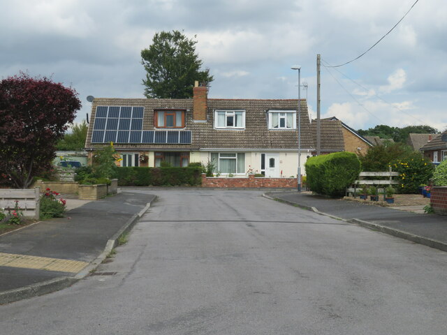
Image: © Gordon Hatton Taken: 9 Aug 2021
There's plenty of private housing development around Stamford Bridge, this particular road looking like something from the 1960's. With ever more building around the fringes of the village, it is becoming more of a small town than large village with a population approaching four thousand.
Images are licensed for reuse under creativecommons.org/licenses/by-sa/2.0
Image Location
Latitude
53.984545
Longitude
-0.916617